Geodron

Cloud platform for 3D drone data
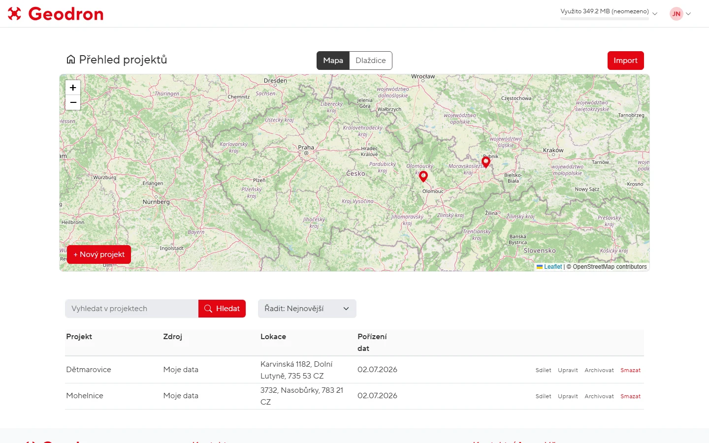
A drone surveys a site in an afternoon. But what do you do with gigabytes of data? Geodron is a cloud platform that brings 3D drone models into an ordinary browser — surveyors measure in them, designers overlay utility networks and the client takes a look from home. Comments, drawings and discussions happen right in the model. No installation, no expensive licences.
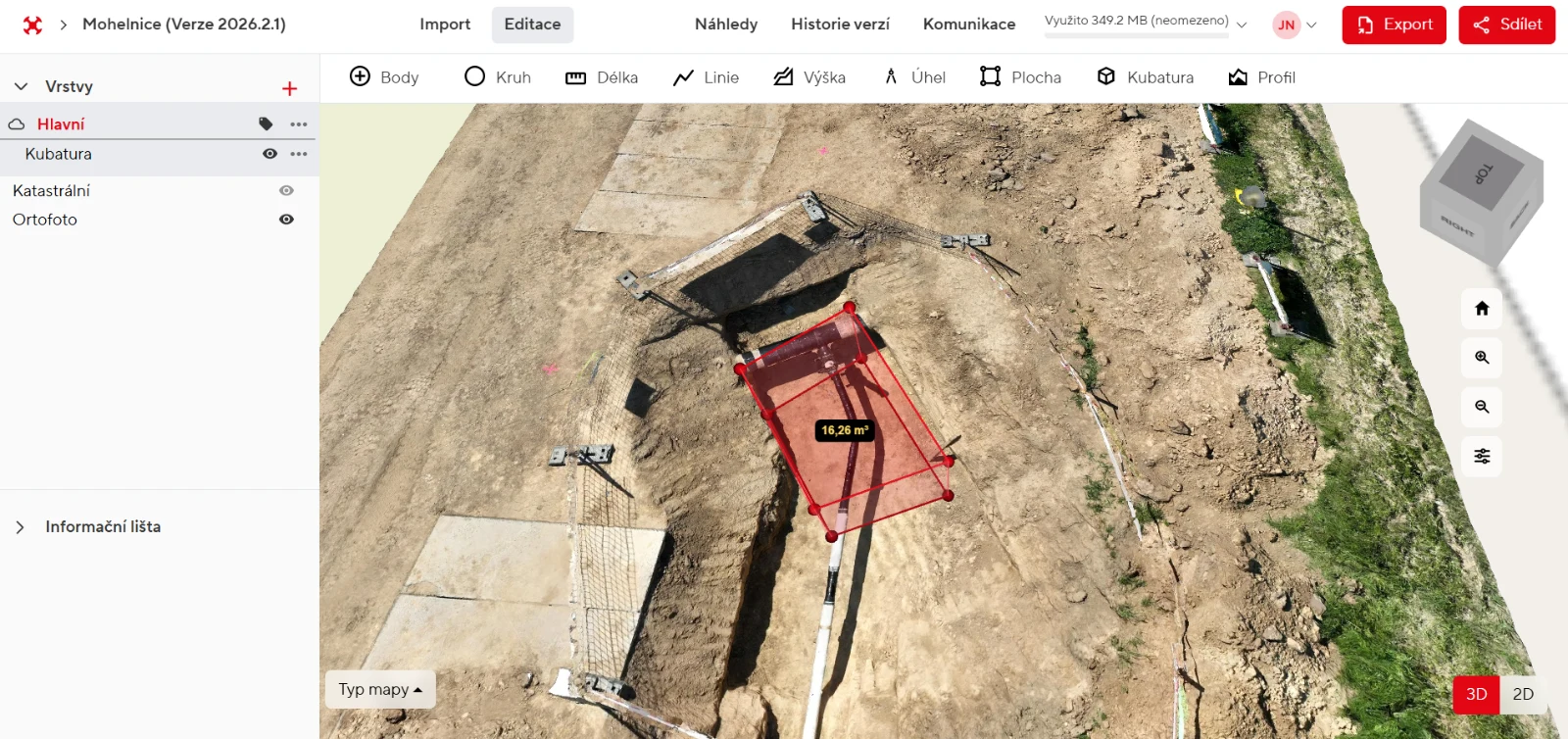
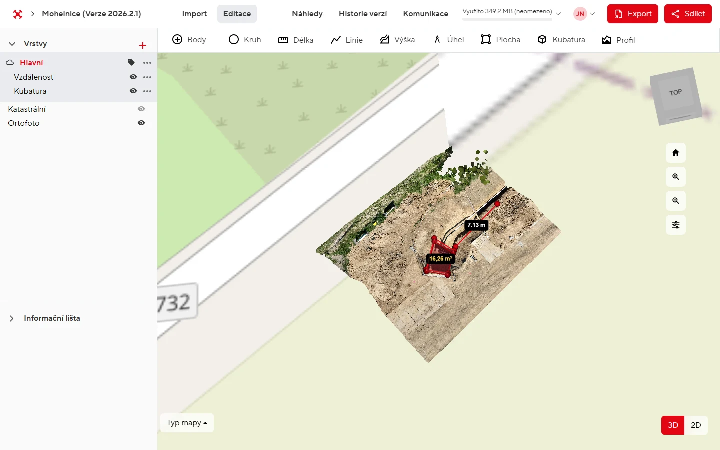
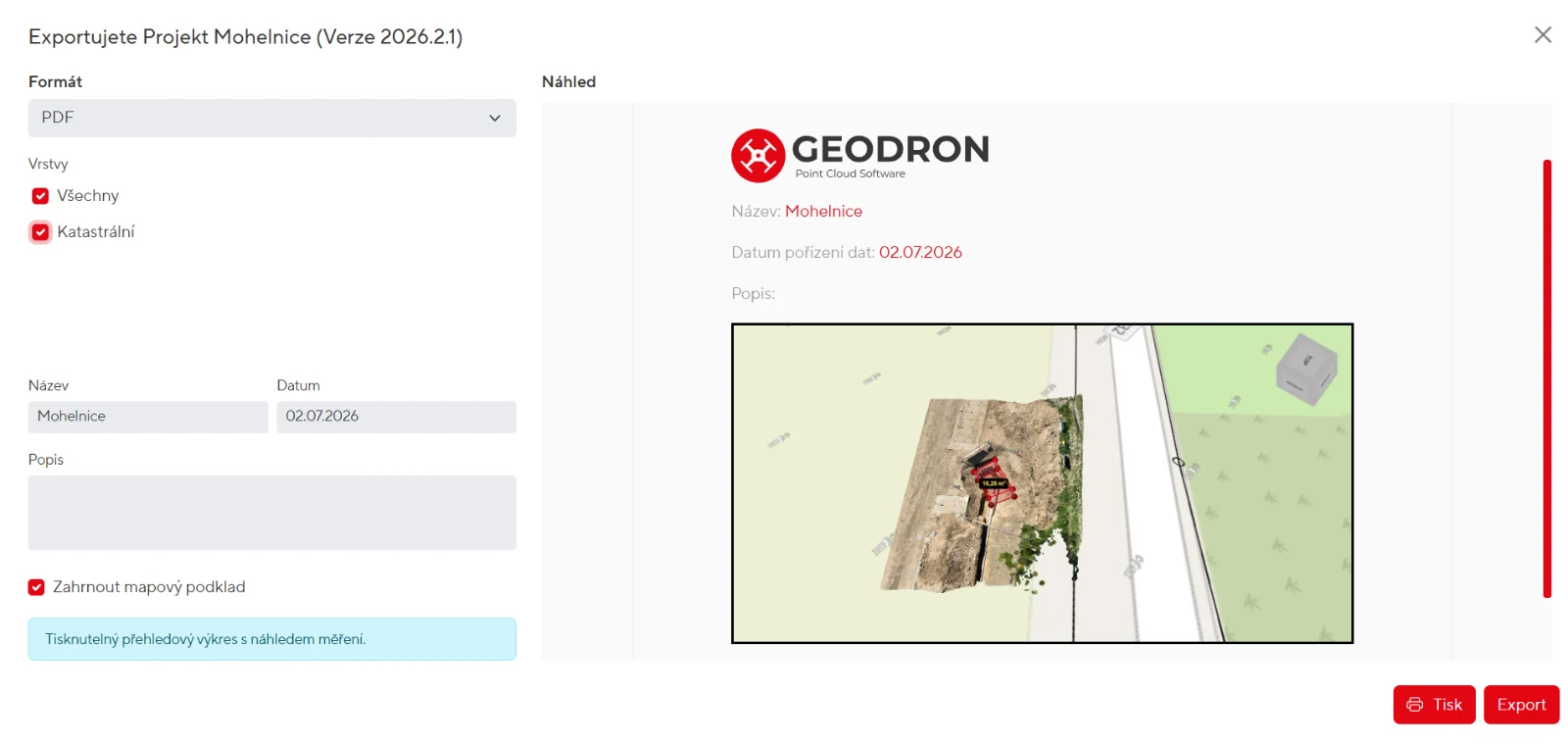
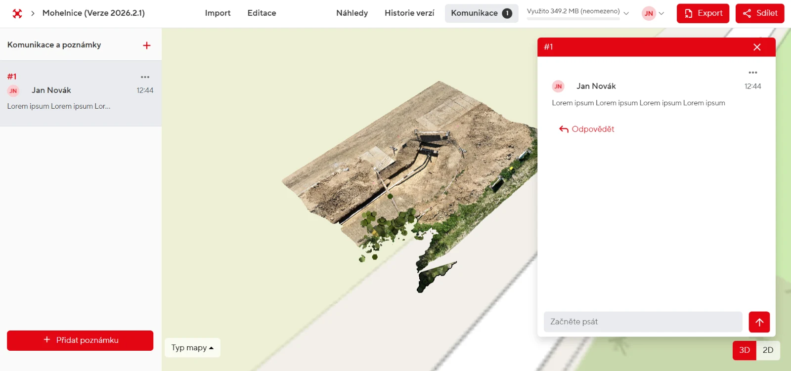
You upload a point cloud and an orthophoto, the platform processes them and displays them in the browser. You can measure almost anything: distances, areas, heights, angles, terrain profiles and volumes computed directly on the point cloud. Projects are split into versions, so you can see how a site changes over time. You share projects with roles ranging from viewing to full editing. Comments pin to specific coordinates — a discussion about a construction detail happens exactly where that detail is. Outputs go to PDF, to the CAD format DXF, to coordinate lists or to a complete project archive.
Technology
We developed the platform on the Oidis Framework in TypeScript. 3D rendering is handled by a customized Potree engine on WebGL with streaming of large point clouds, while Leaflet provides the 2D base maps. The backend runs on Node.js with a GraphQL API and a MongoDB database. Company sign-in is handled by Azure AD, and file storage can work with SharePoint via the Graph API with batched transfer of large files. PDF outputs are generated on the server, vector exports are produced in DXF. Deployment is driven by an automated build pipeline with a monthly release cadence.
The brief
Drone survey data could only be opened in expensive desktop software — by someone trained to use it. Clients were sent static exports: an image, a PDF, done. Nobody could look around the model, take their own measurements or ask a question right on the spot. The brief: make 3D drone data accessible to anyone in a browser and turn it into a place for collaboration, not an e-mail attachment.
The solution
Large point clouds stream into the browser in chunks, so even gigabyte datasets run smoothly on an ordinary computer. Uploaded files are processed by a background queue — uploads go piece by piece, show progress and survive a restart. Company users sign in with their own accounts via Azure AD, and files can stay on the SharePoint the company already has. Measurements, layers and comments are stored with project versions, and the archive is encrypted. PDFs are printed on the server, and vector data goes out to DXF, layers and hatching included.
Key features
- 3D point cloud viewer right in the browser, no installation
- nine measurement tools including volumes and terrain elevation profiles
- 2D mode with orthophoto and georeferencing
- project versions — comparing a site over time, archiving and restoring
- sharing with roles (viewing / hosting / editing) for colleagues and clients
- comments pinned to coordinates directly in the 3D model
- exports to PDF, DXF, JSON, coordinate lists and a complete project archive
- Free and Enterprise subscription plans with storage management
Results & benefits
- in production on geodron.cz since August 2025, new features released monthly
- gigabyte point clouds available to anyone in a browser — no GIS licences
- discussion right in the model has replaced sending static exports
- volumes and profiles computed in minutes directly on drone data
- operated as SaaS with Free and Enterprise plans